 1955-c. 2013
Oblique aerial photographs provide an incredible wealth of information about urban landscapes. In addition to effectively illustrating the relative scale of buildings and neighborhoods, they offer hundreds of subtler details in higher resolution images. Nonetheless, due to some obvious limitations, then and now comparisons composed of aerial views have not been featured on this blog up until now.
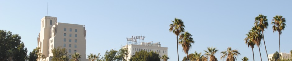
However, short of access to a blimp or helicopter, a solid substitute can be simulated using the 3D viewer in Google Earth. The bottom pictures in this post’s comparisons were created by HossC at SkyscraperPage, and were recently posted in its forum’s long-running Noirish Los Angeles thread. The simulated images, based on views from around 2013, were meticulously aligned with two photographs taken in 1955 from a Goodyear blimp. The top view looks west from a point above Bunker Hill, showing a large swath of Westlake in the distance. The bottom view, with City Hall at its center, looks north from a point just south of the Civic Center.
 1955-c. 2013
Both of the original aerial shots show several neighborhoods in a raw state of transition. By 1955, demolition and excavation crews had carved away at the edges of Bunker Hill, leaving large expanses of parking lots in their wake. However, the central city’s urban renewal projects had yet to reach the full extent of their destruction. In the half-century that followed, the Civic Center gradually spread in all directions from City Hall, and has since expanded to fit most of the present-day view. Meanwhile, the southern end of Bunker Hill has been rebuilt as part of Downtown Los Angeles’ modern business district. The area is now home to many of the city’s tallest skyscrapers, several of which dominate the contemporary view of the top comparison.
The full 22-image collection of aerial views from the Goodyear blimp [USC Digital Library]
Original photographs:
1. Paegel. “Aerial views from Goodyear blimp (Paegel), 1955 – EXM-N-11429-001~3.” Los Angeles Examiner Collection. USC Digital Library. USC Libraries Special Collections.
2. Paegel. “Aerial views from Goodyear blimp (Paegel), 1955 – EXM-N-11429-001~18.” Los Angeles Examiner Collection. USC Digital Library. USC Libraries Special Collections.
